Golden Arrow Mine
|
INTRODUCTION
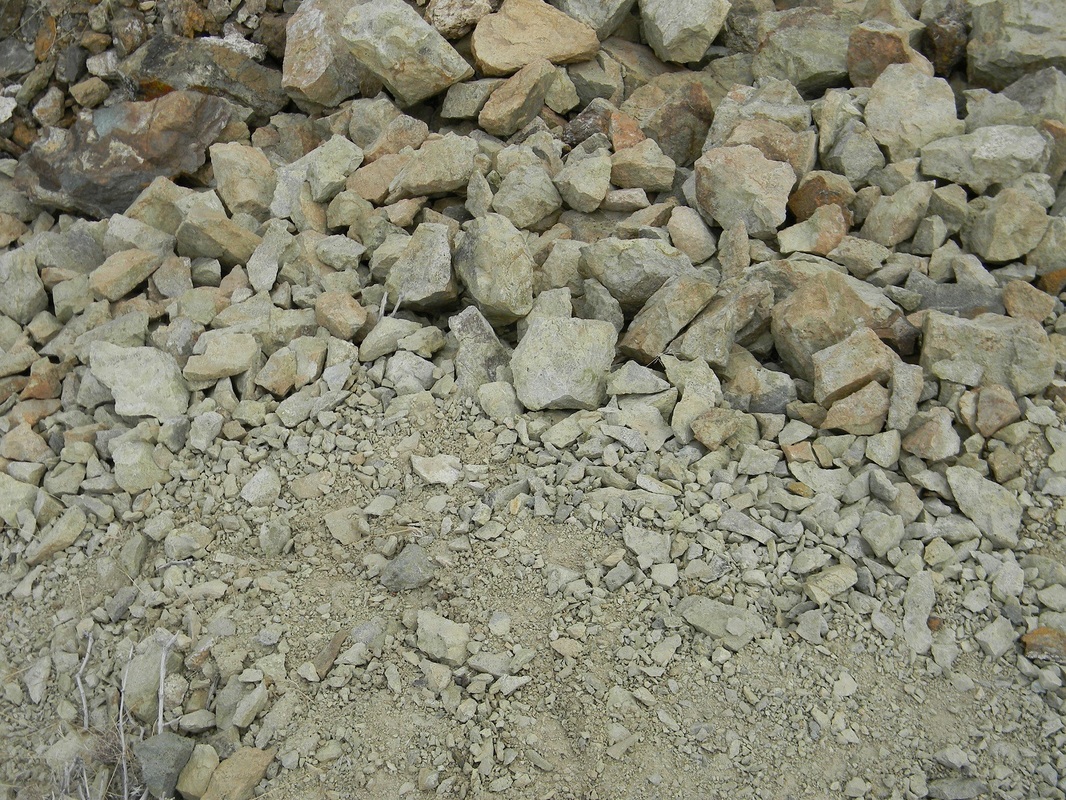
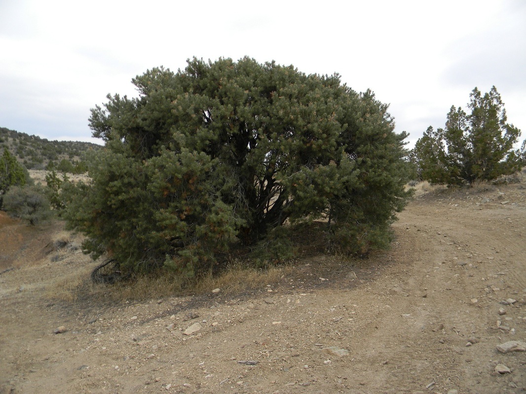
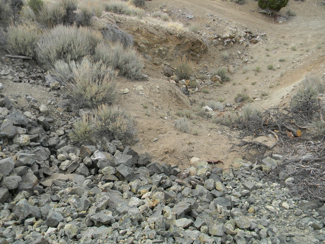
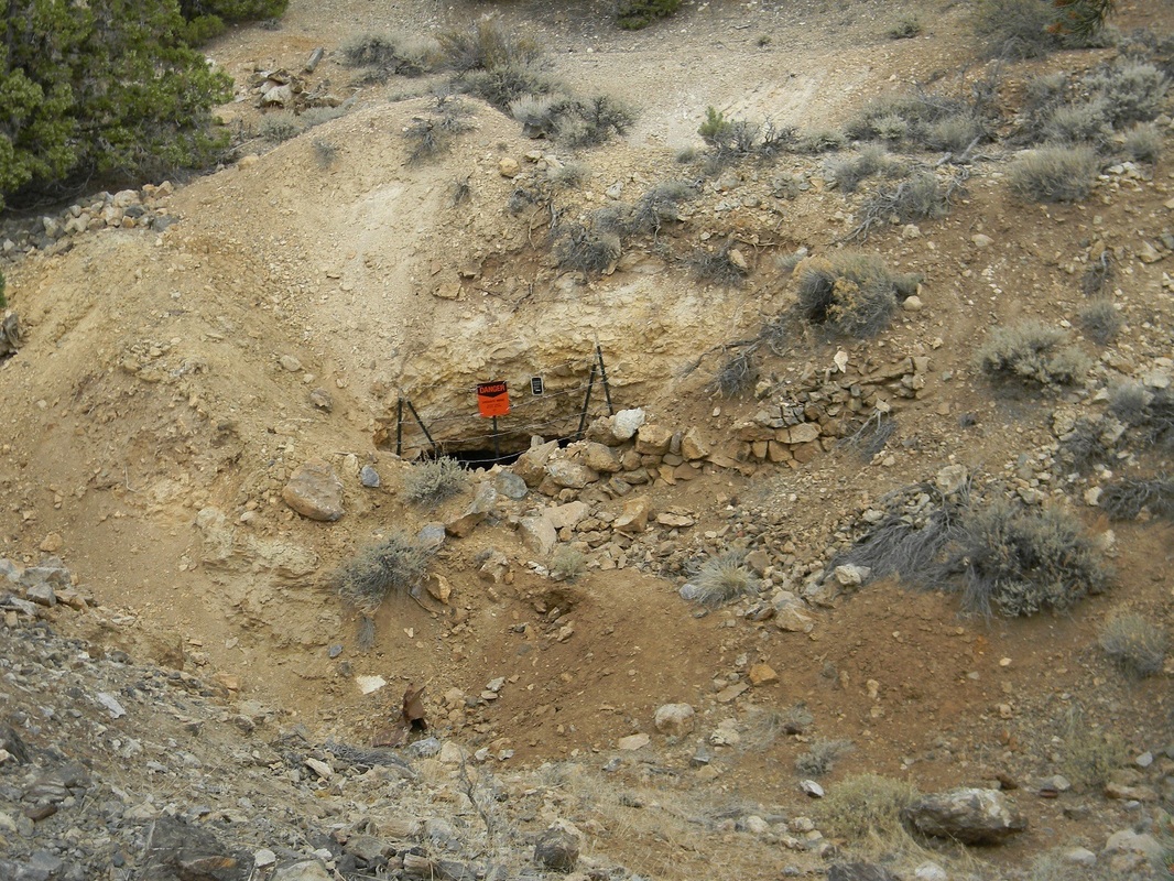
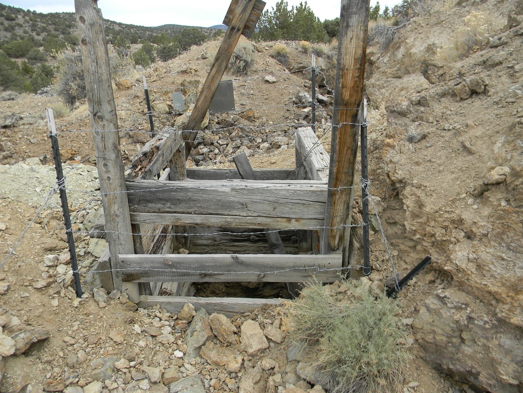
The Gardnerville district is situated on the west slope of the Pine Nut Range in Central Douglas County and approximately 14 miles southeast of Minden and Gardnerville. It is adjoined on the west by Red Canyon district and on the southeast by the Wellington district. The Mount Siegel placer district lies to the north of Gardnerville district. GEOLOGY The principal country rocks are Tertiary andesite, which covers the summit areas of Gardnerville district and intrusive quartz monzonite which is, however, exposed by deep erosion in the southern and eastern portion of the district. Lake deposits and tuffs occur along the base of the west slope that are probably Pliocene in age. According to hill (1915) the augite-andesite is cut by nearly verticle, north-trending fractures at the Pine Nut fractures striking N.35 degrees E., and dipping steeply to the southeast. Gold is associated with altered and silicified wall rock in these fractured areas, with minor amounts of pyrite included in the mineralized zone. Mesozoic sediments composed of shale and lime stone, believed by Hill (1915) to be Triassic in age, have been metamorphosed at the Nevada Tungsten Mine where they have been converted to tactite with the introduction of scheelite. Organic deposits of recent origin have been known for many years, and a peet deposit was discovered in Carson Valley near Minden. These deposits probably were derived from the decomposition and subsequent burial of years of tule growth along an early channel of the Carson River. Possibly they were similar to the tule marsh that now exist along the River between Walley's Hot Springs and Genoa. Metal production from the Gardnerville district has been mainly gold, silver, and copper. MINE PROFILE State: Nevada County: Douglas Elevation: 6,099 feet (1,859 meters) Primary: Gold major/Silver Minor Camping Area: Yes, this Claim offers very large areas to camp on, and tons of trails to ride horse back or use ATV's/Dirt bikes. Deposit Information: Record Type: Mine Site Operation Category: Past Producer Operation Type: Non-Op Mining Method: Tunnel/open pit Milling Method: Gravity Year First Production: 1943 Year Last Production: 1955 Discovery Year: 1898 Years of Production: Unknown Significant: Yes Deposit Size: small/medium Orebody: Form: IRREGULAR BUNCHES Materials: Ore: Scheelite Rocks: Name: Monzonite Role: Associated Age Type: Host Rock Dating Method: Radiometric Material Analyzed: Host Age Young: Late Jurassic At an altitude of 6,099 feet, the claim generally has warm, dry summers and cold, wet winters. Weather can change rapidly any time of the year. Rain and snow fall usually from October until April. |
