Ruby's Mine
|
INTRODUCTION
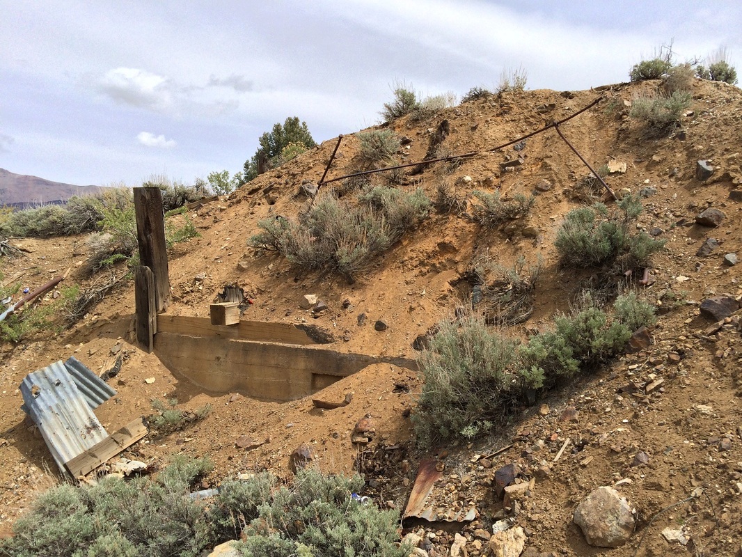
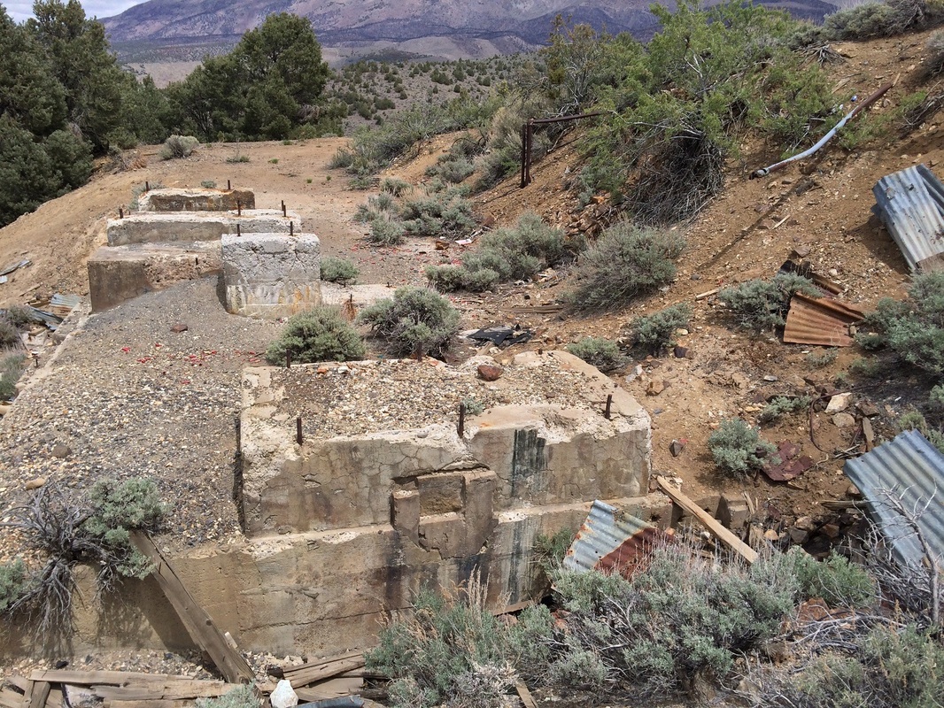
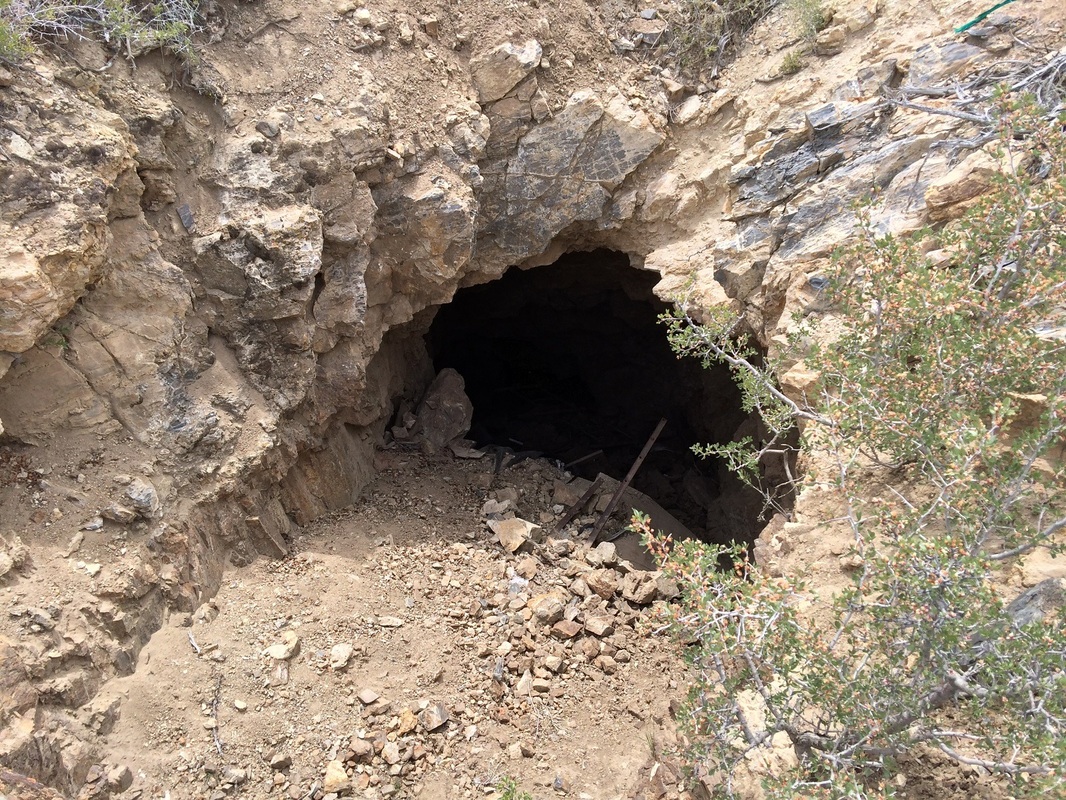
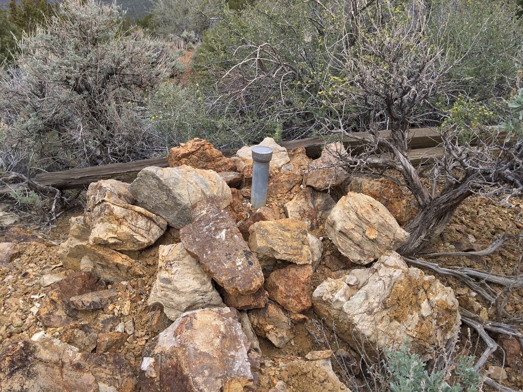
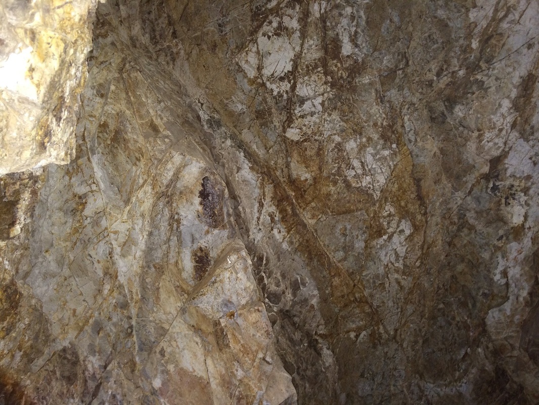
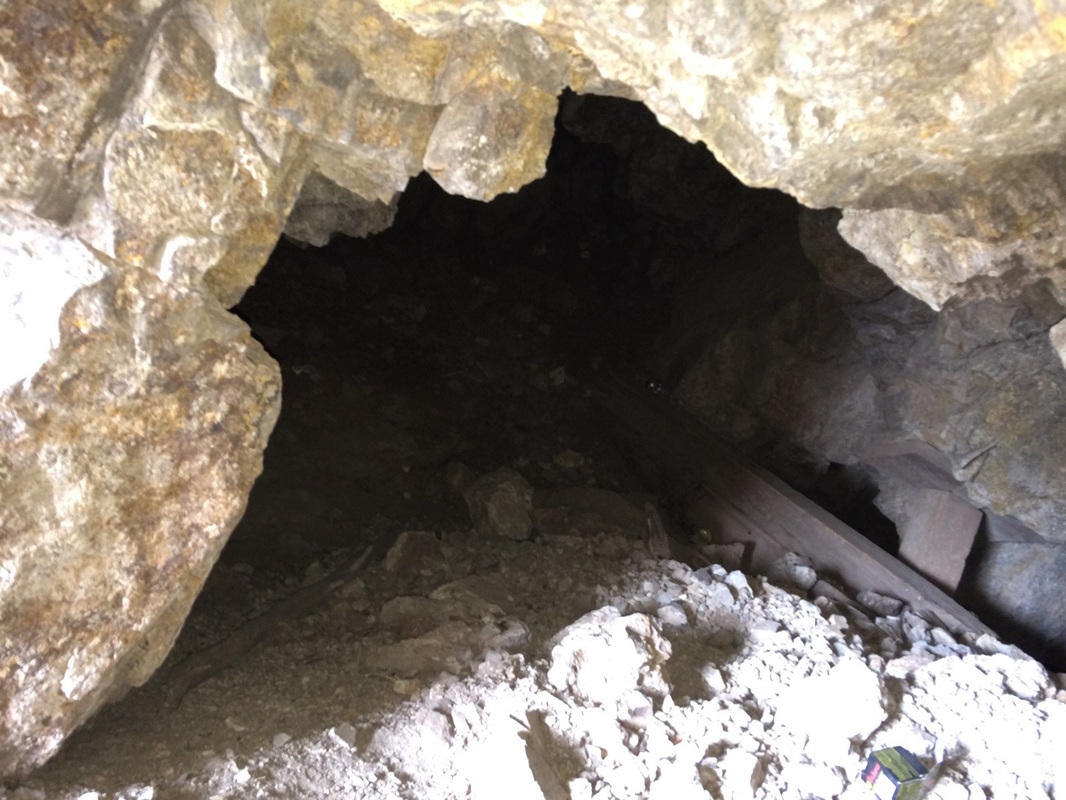
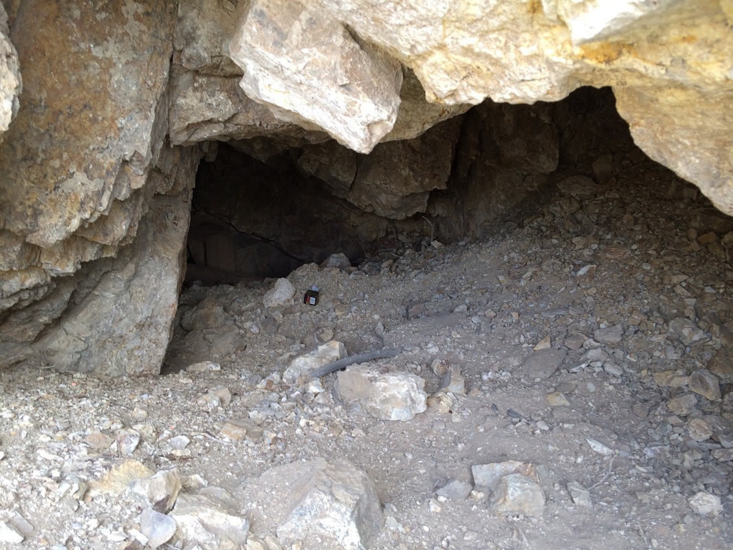
The Indian Springs district lies at the crest of the northern Pine Nut Mountains, and historical production is recorded at just over $500,000 prior to 1940. The district was discovered in the early 1860's, and the area excited considerable interest because of the similarity of the geology with that of the Comstock Lode. Gold and silver-bearing quartz veins cut altered Tertiary and sits as chloride, free gold, and traces of copper; at fairly shallow depths, part of the silver occurs in tetrahedrite. GEOLOGY The Carson Valley was formed by volcanic, tectonic and erosional events during the past 240 million years. The oldest geologic units in the Carson Valley are 138 to 240 million year old volcanic and sedimentary rocks deposited in the Jurassic and Triassic Periods. During the Cretaceous Period (63 to 138 million years ago), granitic magma of the Sierra Nevada batholith intruded into the Jurassic and Triassic sedimentary rocks, forming the basement rock of the Carson Valley and a majority of the Pine Nut and Sierra Nevada Mountains. A long period of erosion followed the intrusion, until approximately 10 million years ago when basin and range faulting created present day topography by dropping the valley floor and uplifting the Sierra Nevada and Pine Nut Mountains. Erosion of the newly-formed highlands resulted in deposition of Tertiary Sediments, consisting of 40 to 80 foot thick clay beds with 10 to 20 foot thick sand and gravel interbeds over most of the valley floor. Continued faulting between 15 and 5 million years ago tilted the Tertiary sediments towards the west, and Tertiary Andesites and Basalts erupted along the southern and western sides of the valley. During the last 2 million years, continued erosion of highlands filled the Carson Valley, covering the Tertiary Sediments with Quaternary Alluvium. The combined thickness of basin fills in the Carson Valley (i.e., Tertiary Sediments and Quaternary Alluvium) ranges from 5,000 feet to 2,000 feet on the west and east sides of the valley, respectively. CLIMATE AND VEGETATION The Pine Nut Mountains continental climate is characterized by short, hot summers, and moderately cold winters. The average annual maximum temperature for the area is 89 degrees F., and the average annual minimum temperature range is 19 degrees F. July is the warmest month and January is the coldest month. Located in the rain shadow of the Sierra Nevada, the Carson Valley floor receives an average 10 inches of precipitation per year, while the Sierra Nevada Mountains receive as much as 45 inches of precipitation per year, and the Pine Nut Mountains as much as 26 inches per year. Located in the rain shadow of the Sierra Nevada, the Carson Valley floor receives an average 10 inches of precipitation per year, while the Sierra Nevada Mountains receive as much as 45 inches of precipitation per year, and the Pine Nut Mountains as much as 26 inches per year. Vegetation varies widely throughout the Pine Nut Allotments and surrounding area. Major vegetation types include: Pinon Pine, Juniper, Mountain Mahogany, Big Sage, Mormon Tea, Rabbit Brush, Bitter Brush MINE PROFILE State: Nevada County: Douglas Elevation: 5,900 Feet Primary: Gold major/Silver Minor Camping Area: Yes, this Claim offers very large areas to camp on, and tons of trails to ride horse back or use ATV's/Dirt bikes. Deposit Information: Record Type: Mine Site Operation Category: Past Producer Operation Type: Non-Op Mining Method: Tunnel/open pit Milling Method: Gravity Year First Production: 1890's Year Last Production: 1930's Discovery Year: 1898 Years of Production: Unknown Significant: Yes Deposit Size: small/medium Orebody: Form: IRREGULAR BUNCHES Materials: Ore: Scheelite Rocks: Name: Monzonite Role: Associated Age Type: Host Rock Dating Method: Radiometric Material Analyzed: Host Age Young: Late Jurassic At an altitude of 6,099 feet, the claim generally has warm, dry summers and cold, wet winters. Weather can change rapidly any time of the year. Rain and snow fall usually from October until April. |
